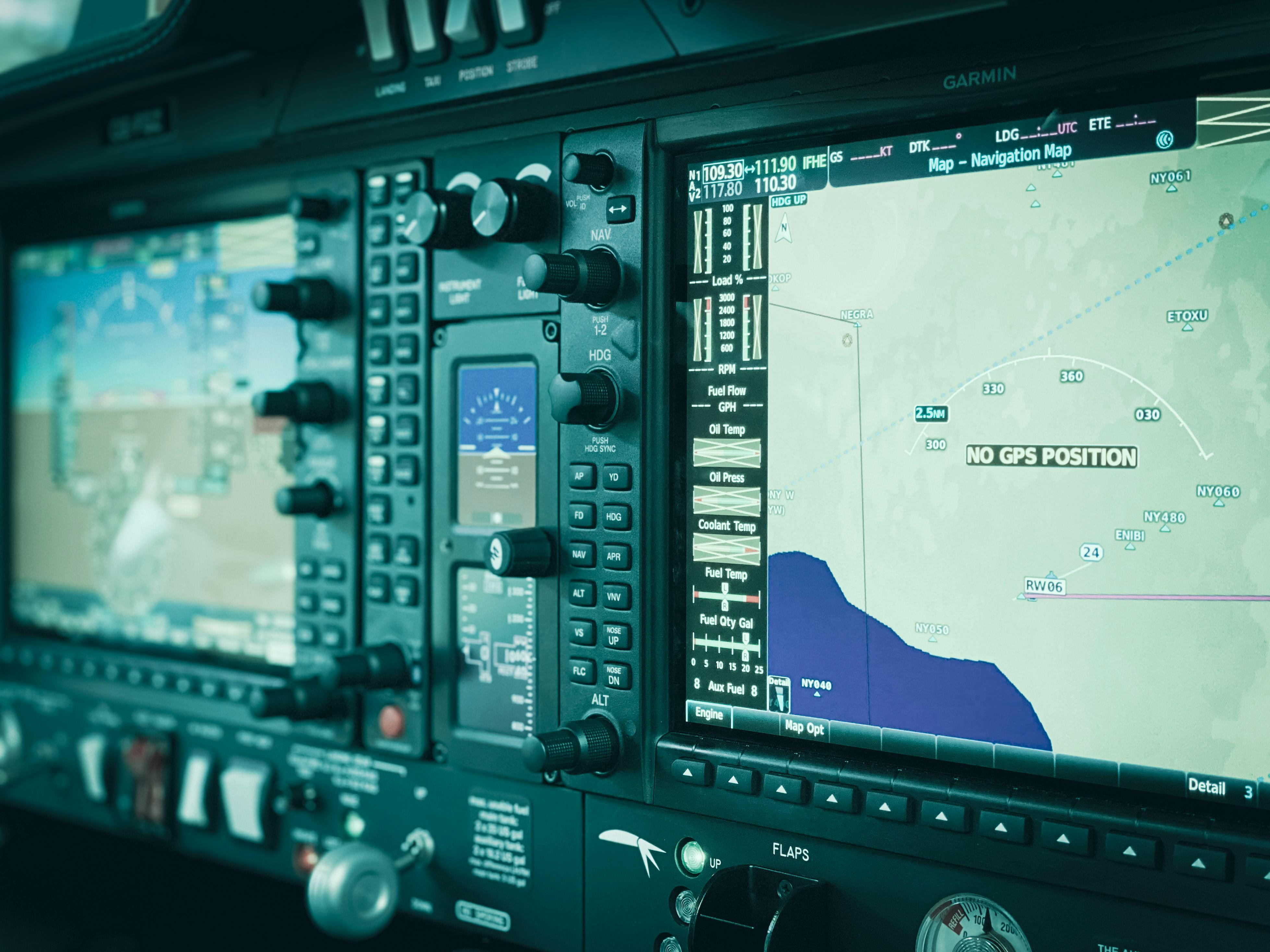
The Precision GPS/GNSS RTK and PPK Mapping and Data Processing for Field and Drone Applications Bootcamp is the third in our Drone Mapping series. While it is part of the Drone Mapping Bootcamp Bundle, it also stands alone as a comprehensive introduction to high‑accuracy GNSS/GPS mapping. Participants will gain a clear, practical understanding of Global Navigation Satellite Systems (GNSS)—including systems such as the U.S. GPS—and how centimeter‑level positioning supports both drone mapping and a wide range of geotechnical, environmental, and engineering applications.
Designed for professionals other than licensed surveyors, the course focuses on applied GNSS methods used in field science and site assessment. Engineers, geologists, biologists, soil scientists, archaeologists, foresters, and other field‑based practitioners will learn how to accurately map the location of points, lines, and features in real‑world conditions.
Throughout the bootcamp, participants will develop the knowledge and hands‑on skills needed to plan, collect, and process survey‑grade GNSS data. Topics will include the role of GNSS data in drone mapping as well as more broadly applicable techniques for mapping and surveying field sites. By working directly with equipment and real datasets, students will learn to evaluate and communicate accuracy, precision, and data quality within their mapping projects. By the end of the course students should be able to:
- Understand the fundamental concepts of GNSS mapping including the principles of relative and absolute accuracy
- Plan GNSS data collection campaigns including accuracy goals
- Set up a base and rover GNSS survey in the field and conduct a RTK GNSS survey.
- Post-Process GNSS data to determine PPP positions and apply PPK corrections
- Integrate GNSS data into drone‑mapping workflows, including LiDAR and photogrammetric processing.
- Use GNSS to establish and verify project control, including GCPs, checkpoints, and re‑occupation/stake‑out tasks.
- Quantify and communicate accuracy and precision of GNSS data.